Home / Commercial Roofing Services / Drone Roof Inspection
Drone Roof Inspection in Pueblo, CO
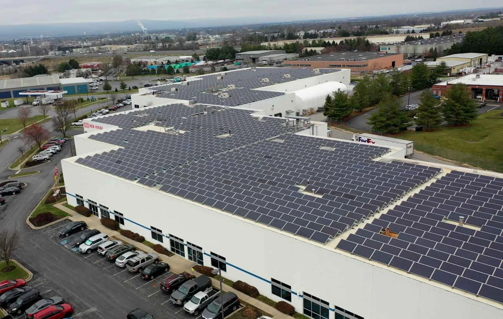
Use drone imaging for a Pueblo commercial roof to map visible conditions, document hard-to-reach areas, and target hands-on verification.
A drone can map a broad roof quickly, but the image still needs a question to answer. We use aerial photography to show roof zones, equipment groups, drainage patterns, and visible surface conditions that may be difficult to capture from a ladder. In Pueblo, CO, the project lead can use those images to plan access, target a closer inspection, or compare sections of a multi-building property. The aircraft documents what is visible from above; it does not confirm what is beneath a membrane.
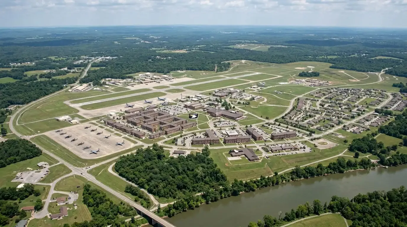
That distinction is useful where roofs have extensive equipment or access limits. Pueblo Memorial Airport’s development sites include hangars, maintenance, and fuel services, while PuebloPlex contains a large inventory of existing buildings and storage igloos. The property still determines which roof surfaces can be flown and what access approvals are needed. We coordinate the flight window, airspace restrictions, site security, and pedestrian protection with the facility contact. Images can then guide a hands-on roof inspection or identify where a moisture survey would add information.
What can the images show?
From above, a clear image may show membrane discoloration, standing water, loose rooftop items, apparent seam openings, damaged edge material, debris, or concentrated wear around equipment. A sequence of overlapping photographs can place those observations in context with roof boundaries, drains, curbs, and access points. We label the image by building and roof zone so the project team can return to the same location during a site walk. The image set is more useful when it answers a question, such as whether a drain is obstructed or which curb requires close viewing.
Where flight conditions permit, the camera angle can help show parapets, expansion joints, upper roof tiers, and surfaces screened from ground view. The project lead can use those views to prioritize inspection effort and discuss lift or ladder access. Aerial imagery may also establish a visual baseline after a repair or before a planned replacement. It cannot reliably show membrane attachment, concealed wet insulation, the condition of the deck, or whether a surface mark is a breach. Those findings require hands-on inspection or verification openings. Our condition report can preserve image references alongside field findings.
Where does a close inspection take over?
Image resolution and sun angle affect what a flight reveals. Glare can hide a surface defect, shadows can make a dry area appear wet, and equipment can block the view of membrane details. A drone cannot test a seam, lift a flashing edge, check fastener pullout, or determine whether insulation is damp. We keep aerial observations labeled as visible conditions and list the questions that need contact-level inspection. That avoids turning a photograph into a diagnosis it cannot support.
If the image shows a suspect seam, puncture, or curb transition, we mark the location and inspect the detail from the roof when safe access is available. Suspected trapped moisture may need infrared scanning followed by selected core cuts. A leak report can be compared with the aerial map to focus the walk on likely paths. If the inspection supports replacement planning, the same roof-zone labels can help organize quantities and bid assumptions. The final scope still depends on the assembly, substrate, and conditions measured at the property, not on a camera view alone.
How should the flight be coordinated?
The facility contact should identify active loading areas, pedestrian routes, sensitive operations, and the time windows when a flight is least disruptive. We check airspace, weather, launch and landing areas, and any site-specific approval before work begins. If a roof sits near an airport operation, the required clearance can affect whether and when an aerial inspection is possible. That assessment is made for the actual location and planned flight, not inferred from the property’s proximity to an airport.
Industrial settings add practical questions about staging and vehicle movement. The St. Charles Industrial Park connects rail and I-25 access and includes manufacturers whose activity may continue during a roof survey. We confirm the launch area and keep the flight route clear of people and equipment. If weather, wind, or an operating restriction prevents a safe flight, we reschedule or use a ground-based inspection method. A drone survey should fit the building’s access plan, not force the site to change essential operations for an image set.
What weather limits the view?
Wind, precipitation, low cloud, snow cover, and changing light can reduce image quality or make a flight unsafe. Pueblo’s severe-weather resources track hail, tornadoes, and damaging wind across the region, so post-event imaging may help show broad visible impacts once conditions are safe. It cannot establish when each mark occurred or prove that every affected-looking area was damaged by the same event. The project lead should pair the image date with weather reports and a closer field inspection when a repair or claim decision depends on the cause.
Seasonal temperatures also affect what the image means. Pueblo’s average summer highs exceed 90°F, while seasonal snowfall averages 28.3 inches. Bright sun can exaggerate contrast on a warm membrane, and snow or meltwater can hide seams and drains. We note these conditions in the flight record and avoid comparing unlike images as if lighting and surface conditions were identical. If a roof needs immediate stabilization, our emergency response can proceed through a safe ground and roof assessment while aerial work waits for a suitable window.
How should the image set be handed off?
We deliver labeled images with the building, date, and roof-zone reference, plus a short list of visible items selected for follow-up. The handoff separates observations from recommendations and notes any areas that glare, obstruction, flight limits, or weather prevented us from seeing. If several structures are surveyed, each gets a separate image group and map reference so a finding on one roof is not assigned to another building in the portfolio.
Before a repair bid is prepared, the project lead can use the map to arrange safe access to the flagged details. We then verify those locations from the surface, record measurements, and check the membrane and flashing by hand. For a larger campus, the image file can become a baseline, but each later comparison should identify changes and access limits rather than assume identical conditions. Arrange a flight with the facility contact, operating calendar, airspace information, and any prior roof plan available. We will set the observation boundary, label the images, and identify which roof questions need an on-surface answer.
Commercial Roofing Questions
Can a drone confirm water trapped below the membrane?
No. A camera can record visible surface patterns but cannot establish concealed moisture. If the image or interior report raises that question, we use an appropriate survey method and verify selected areas with test openings when needed. The report keeps the aerial observation separate from a confirmed subsurface condition.
Can drone images replace a hands-on roof inspection?
Aerial views can speed mapping and help choose inspection targets, but they cannot test seams, flashing, attachment, or substrate. We use them as one part of the review and walk accessible surfaces to confirm defects that affect repairs or replacement. Areas not safely reached remain identified as limits.
What if the building is close to airport activity?
The flight plan must be checked for the actual location, airspace, and operating rules. A nearby airport can restrict a drone survey or require prior coordination. We confirm the limits with the site contact and relevant aviation requirements, then select another inspection method if a safe flight cannot be arranged.
What should be included with an aerial inspection request?
Provide the building map, roof access details, a list of concerns, the operating calendar, and any site or airspace restrictions already known. If the request follows a leak or storm, include the affected roof zone and report timing. That gives us a specific flight objective and a useful handoff for the follow-up walk.
Map the roof before choosing the next test
Share a site map, roof records, access limits, operating windows, and the questions the project team needs answered. We will plan an appropriate flight and flag where hands-on verification is still required.
Call 555-555-5555 or email [email protected].